
Sources for Hazlet Neighbors
A block lookup uses layers of public evidence. The GIS viewer answers which parcels touch or lie across a road. The tax and MOD-IV records identify parcel facts, assessed owners, and mailing or site fields when available. The deed index shows recorded transfers and legal descriptions. Hazlet's permit route, public agendas, and library sources add narrower context. A voter list is governed by a separate statutory access path. No single source proves the present identity of every person connected with a nearby address.
| Source | What it can show around a block | Verified access route |
|---|---|---|
| Monmouth GIS parcel viewer | Parcel shapes, road frontage, districts, and map layers | Free viewer; identify parcels and note map attributes |
| MOD-IV and tax list | Property location, assessed owner, assessment, class, and tax history | Free OPRS system with municipality and year selection |
| County deed index | Transfers, parties, legal descriptions, and plats | OPRS within online cutoffs; counter for older or certified work |
| Hazlet SDL permits | Address or block-lot property information from 2012 forward | Free account; earlier records by targeted OPRA request |
| Meeting agendas and minutes | Public participants, applicants, witnesses, and civic matters | Township date, phrase, and category search |
| Community organizations | Public event or contact layer, not a member list | Township organization page and official public-body records |
A parcel owner, recorded party, or mailing address is not automatically a current neighbor. Parcel facts establish a relationship to land or a document. They do not reveal every person at the site, private contact information, or a social connection between adjoining lots.
Note: Save the selected tax-list year and map data date with every block observation.
Mapping Hazlet Neighbors by Parcel
The Monmouth County GIS Map Viewer is the starting point for the immediate block. Search or zoom to the location, select the target parcel, and write down the parcel identifier or block-lot values shown by the map. Then identify the polygons that actually adjoin it or lie directly across the road. GIS is useful for geography and visual context, including roads, municipal boundaries, aerial imagery, zoning, flood or hazard layers, and planning data. It is not a legal survey and should not be treated as one.
- Locate the address or parcel in the GIS viewer and record the available parcel key.
- Select only the adjoining or directly opposite parcels that the map actually shows.
- Use the same block, lot, and qualifier in MOD-IV or the tax-list index.
- Open the deed index for a documented transfer or legal description when it is relevant.
- Keep road rights-of-way, condominium units, and irregular parcel shapes separate from a visual guess about the block.
NJGIN cautions that hosted parcel geometry is not a legal boundary source and that owner names can be redacted under Daniel's Law. The research did not confirm a current GIS buffer or radius control, so an adjacent-parcel method is the accurate description. For a whole named road rather than the immediate block, use the Hazlet by-street directory route.
Hazlet Neighbors Through Map Layers
Map layers can explain why two nearby parcels should not be treated as the same setting. The Monmouth viewer and GeoHub describe parcels, municipal and county boundaries, roads, aerial imagery, zoning, flood or hazard layers, districts, land use, open-space, and planning datasets. A public road, easement, or distinct tax lot can sit between addresses that look close on a screen. Record the layer name and date before using it as context for a block question.
After the map identifies the parcel, the Monmouth OPRS Tax Board and MOD-IV system supplies the assessment layer. It can expose an owner, property location, mailing city and state, assessment, class, year built, tax information, and tax-list history when fields are populated. Mailing and site addresses can differ. An out-of-town mailing address is a correspondence fact, not proof that the person lives elsewhere or has any present connection to a nearby parcel.
The map, tax roll, and deed each answer a different question. Keep that division clear rather than combining their fields into an unverified neighbor profile.
Voter Records for Hazlet Neighbors
New Jersey's public individual voter search is not a street-browse tool. It is exact-string sensitive, so hyphens, middle initials, married names, and full given names can affect a result. The state directs a user to match the county's spelling and to use the name, date of birth, city, and county information requested by the search. A no-result can reflect a spelling or input issue, not an absence of registration.
A broader registered-voter list is available from the Monmouth County Commissioner of Registration under N.J.S.A. 19:31-39, at reproduction cost not exceeding $375. That statute also limits public access to protected fields. Signatures, Social Security numbers, driver-license numbers, and covered-person addresses are withheld. Voter records do not reveal ballot choices. Request only the specific public material needed, and retain the law's use restrictions with the request.
Hazlet Neighbor Names in Public Agendas
Hazlet's agenda and minutes search provides a local civic layer. The official system supports date presets, start and end dates, search terms, and categories. Published categories include the Alliance, Environmental Commission, Land Use Board, Open Space Advisory Council, Recreation Advisory Committee, and Township Committee. An agenda or approved minute can identify an applicant, board participant, witness, or speaker in a public matter.
That is not a neighborhood roster. The record reflects a public appearance tied to a meeting, application, or official action. Search by property, date, board, or topic and read the meeting context before connecting a listed name to a parcel. Public participation is a civic record, not evidence that someone presently lives nearby.
Community Connections for Hazlet Neighbors
Hazlet's official community page identifies organizations that provide public-facing connections, but the research did not locate a verified neighborhood association or private member roster. The Township's chambers and organizations page describes the Hazlet Business Owners Association and regional chambers. Use their published event or contact information for a community lead only. Do not infer that all members are Hazlet neighbors or that a public affiliation supplies a residential address.
| Hazlet Business Owners Association | Township-described nonprofit with monthly networking; no linked membership directory was verified. |
|---|---|
| Regional chambers | Matawan-Aberdeen, Eastern Monmouth Area, and Monmouth Regional groups offer public business or community affiliations, not a block roll. |
| Hazlet Area Quality of Life Association | Named in the official 2030 stakeholder list; a current standalone directory was not located. |
| Township public bodies | Meeting records can identify current civic participants, applicants, and issues when documented in agendas or minutes. |
The official community-organization page shows the Township's public-facing organization layer.
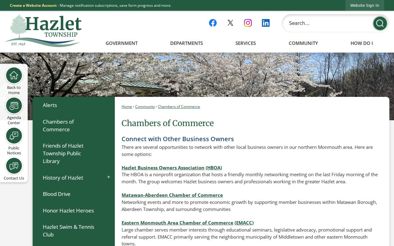
Use the image and source as a contact and event route, not as evidence of a complete association roster or a list of people who live on any block.
Hazlet Neighbors Across Place Names
Hazlet's official material uses neighborhood labels including Raritan Ridge, Raritan Valley, and West Keansburg. They are useful geographic descriptions, but they are not separate municipalities. West Keansburg is also linked to the Keansburg postal area, while most Hazlet addresses use 07730. Postal labels and municipal borders can cross one another, so a neighbor lookup should confirm the legal municipality through the parcel system instead of relying on a postal place name.
The older municipal name matters too. Hazlet was Raritan Township until 1967 and part of Middletown before 1848. When an old deed, cemetery record, or newspaper uses one of those names, carry the historical term forward with its date. That prevents a nearby regional reference from being treated as a present Hazlet block fact.
Comparing Sources for Hazlet Neighbors
Official sources and commercial neighbor-lookup tools serve different purposes. The official parcel map, tax roll, deed index, and meeting archive can be checked against a named custodian, date, or legal record. Commercial tools commonly combine brokered associations, marketing information, public records, and older address links. They can be stale, merge people with common names, or omit the source date. Treat such material, if encountered, as a prompt to verify a public record, not as proof.
| Source type | Best use | Core limitation |
|---|---|---|
| Official parcel and deed records | Parcel identity and recorded land transactions | They do not identify every current person at a site. |
| Official meeting and organization pages | Public civic context or published contacts | They are not membership or neighbor lists. |
| Commercial neighbor tools | A lead that can be checked through a custodian | Associations can be outdated, incomplete, or attached to the wrong person. |
Note: Prefer a record with a source date and custodian over an undated compiled association.
Private Limits on Hazlet Neighbor Lookup
Some block information is deliberately not public. People who are not assessed owners may not appear in parcel records. Utility and delivery customer lists are not ordinary public block directories, and motor-vehicle address data is protected. New Jersey's Address Confidentiality Program provides a substitute address for eligible participants, and Daniel's Law creates redaction protections for covered people and families. GIS parcel geometry can remain visible while a name is redacted.
These limits do not invite a search through other sources. Respect a redaction, sealed file, or unavailable record. New Jersey law also treats stalking and harassment as serious offenses. Use Hazlet neighbors information for lawful personal research, property context, and civic understanding, never to target, watch, intimidate, or harm someone.
The Township's Aumack cemetery history shows why source limits matter. An 1852 deed and later survey establish a small burial-ground story in Raritan Ridge, but they do not establish present neighbors.
The Aumack Cemetery Restoration source records the historic deed and access context.
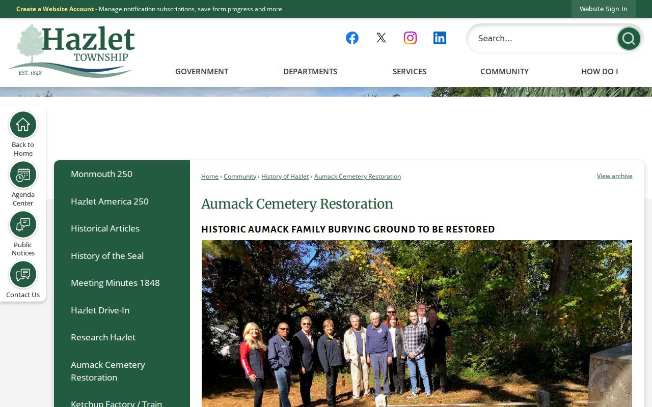
Historical map and deed context can clarify a place name or parcel story, while personal information stays subject to the same legal and practical limits.